Fishing boat satellite navigation / Marine equipment / Automatic identification system / Nautical charter
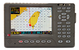
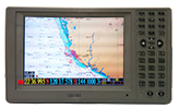
Model:LER-1002
AIS information can be integrated with radar information to provide accurate and comprehensive real-time ship information and enhance the radar's information recognition ability; AIS can expand the observation range of the marine radar system to make up for the radar's observation blind area; AIS can also overcome rain and snow on the radar Interference, so that ships can safely enter and leave the port in severe weather such as storms and heavy snow.
Features
◎ Built-in analog electronic compass
◎ Display GPS information in real time
◎ Angle (True North, Magnetic North)
◎ Built-in tide table
◎ 50,000 track points can be stored
◎ 5000 destinations can be set
◎ Can prepare 500 routes
◎ 9999 markers can be set |
Product acessories
◎ Marine bracket * 1
◎ Knob * 1 pair
◎ NMEA-0183 output line * 1
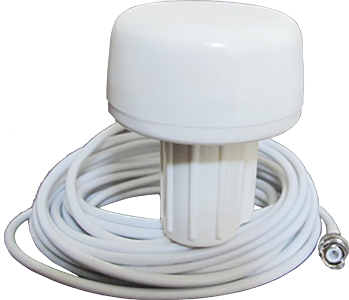
◎ 3V marine satellite antenna * 1
◎ Power cord * 1
◎ Screw * 5
◎ Instruction manual * 1
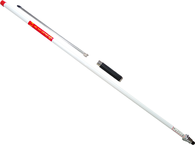
◎ VHF antenna * 1
|
Specification
◎ Display: 10.4 inch TFT LCD
◎ Pixel: 480000 pixels (800 * 600)
◎ Contrast: 500
◎ Brightness: 250cd / m2
◎ Viewing angle: 40/50 (up / down), 60/60 (left / right)
◎ Input voltage: DC13.8V (10-30V)
◎ Power consumption: ≤18W (13.8V)
◎ Ambient temperature: 0°C~50°C
◎ GPS relocation time is less than 34 seconds
More
 |
 |
 |
| AIS antenna for ship |
Automatic ship identification system-LER802 |
GPS antenna for ship |


